Water level
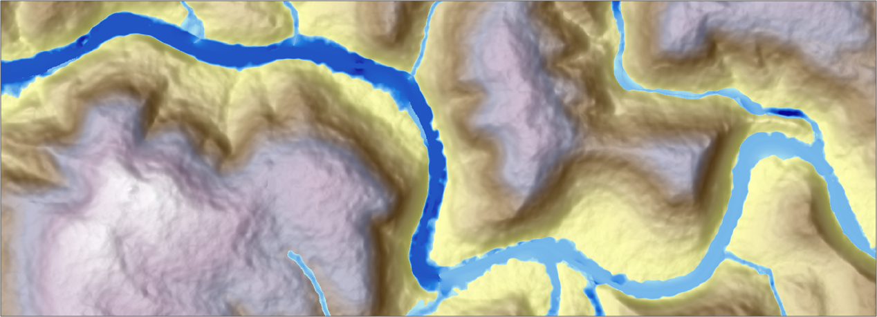
With the option water level, a drainage network in its entirety forms the starting point for the flood simulation. If the water level in a drainage network rises above the height of the bank, FloodArea HPC 11 simulates the flooding area spreading from the watercourse.
The simulated water level can vary in space and time. The former function Set / add height coefficient, with which you could set an alternative value for the entire water network or add a height value, has been replaced by the function Waterlevel Hydrograph.
The typical application for the water level option is the simulation of floods. However, since FloodArea HPC 11 has limitations compared to flume hydraulics (see chapter Theoretical principles ) we recommend a combined simulation of FloodArea HPC 11 with a 1D model.
Data formats Water level
needed:
Digital terrain model (GeoTIFF)
Drainage network (GeoTIFF)
Optional: Waterlevel Hydrograph (.txt, unit: cm)
The grid layer drainage network is used to feed water into the model. The initiating water level in this grid is given by the pixel values. The elevations of the drainage network can be specified in the following units:
Relative elevation: water depth above ground level (e.g. in meters) or
Absolute elevation: including the DTM elevations plus water depth (e.g. in m NN)
In the drainage network, no data is presented wherever no water level is to be simulated (NoData).
remark
At the beginning of each iteration step the initiating water level is reset to its initial state. Depending on the flow processes that have occurred in the meantime, water volumes are fed into or removed from the model at the affected grid cells.
The water level can vary both in space and time. A spatial variation is achieved by the pixel values of the water network raster, while the temporal variation requires a hydrograph.
spatially varying Water level
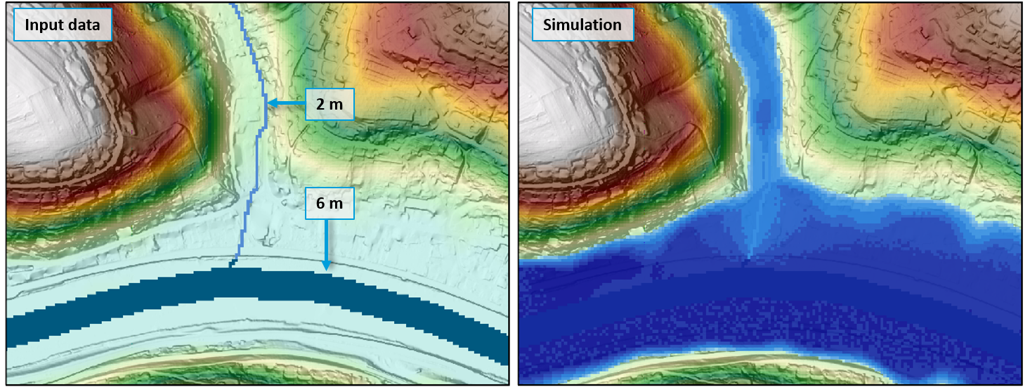
The spatial variation is achieved by assigning different values (heights) to the pixels of the drainage network grid. The following figure shows on the left an initial water level (information in flood depth), which is 6 m in the main river and 2 m in the side river. Due to the different initial water levels, the flood extent differs in the result (right).
Waterlevel Hydrograph
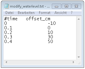
The time modification of the water level is entered into the simulation via a text file (.txt). The first line is commented out (using ‚#‘) and contains the column names. In the first column the time is given in hours. The second column contains the modification of the water level in centimeters. The change of the water level is given for each time interval and is added to or subtracted from the initial water level, depending on the sign (see figure).
Testdata Water Level
test data for this option:
DrainageNetwork_Gewaessernetz_absolute.tif
DrainageNetwork_Gewaessernetz_relative.tif
ModifyWaterlevel_ModifikationWasserstand.txt


